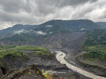
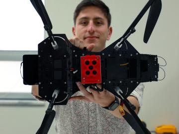
ORNL drone and geospatial team becomes first to map the Coca River in the Amazon basin as erosion and sediment threaten Ecuador’s lands.
ORNL drone and geospatial team becomes first to map the Coca River in the Amazon basin as erosion and sediment threaten Ecuador’s lands.

Researchers at ORNL are using a machine-learning model to answer ‘what if’ questions stemming from major events that impact large numbers of people.
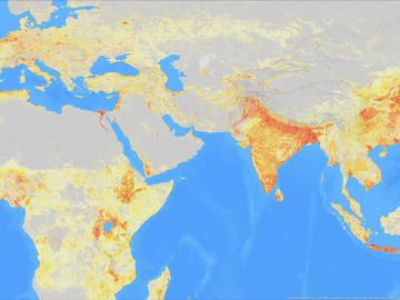
ORNL’s Assaf Anyamba has spent his career using satellite images to determine where extreme weather may lead to vector-borne disease outbreaks. His work has helped the U.S.
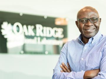
ORNL took home the top honors in three categories at the second annual DOE Geospatial Science Poster competition, held on National GIS Day. For the second year in a row, DOE awarded ORNL top prize as Best Geospatial Program.
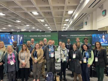
ORNL scientists and researchers attended the annual American Geophysical Union meeting and came away inspired for the year ahead in geospatial, earth and climate science.
Jack Orebaugh, a forensic anthropology major at the University of Tennessee, Knoxville, has a big heart for families with missing loved ones.
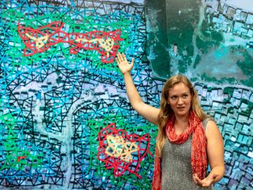
Christa Brelsford, a Liane B. Russell Fellow at the Department of Energy’s Oak Ridge National Laboratory, decided as a teenager growing up in rural Alaska to use her empirical mind and math and science skills to do good in the world.

We ask some of our young researchers why they chose a career in science, what they are working on at ORNL, and where they would like to go with their careers.
OAK RIDGE, Tenn., March 13, 2019 – Two technologies from the Department of Energy’s Oak Ridge National Laboratory have received national Excellence in Technology Transfer awards from the Federal Laboratory Consortium for Technology Transfer: “Qrypt Lice
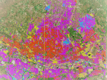
Geospatial scientists at Oak Ridge National Laboratory analyzed three cities of varying infrastructures to look for patterns of electricity use and locate “dark spots” where informal neighborhoods may lack access to power.