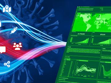
When the COVID-19 pandemic stunned the world in 2020, researchers at ORNL wondered how they could extend their support and help
When the COVID-19 pandemic stunned the world in 2020, researchers at ORNL wondered how they could extend their support and help
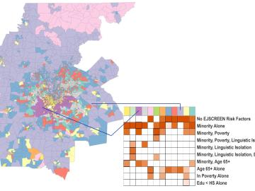
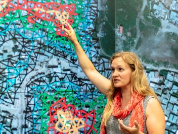
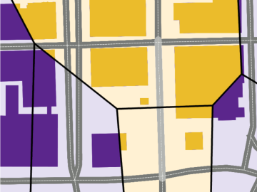
A new capability to identify urban neighborhoods, down to the block and building level, that are most vulnerable to climate change could help ensure that mitigation and resilience programs reach the people who need them the most.
It’s a simple premise: To truly improve the health, safety, and security of human beings, you must first understand where those individuals are.
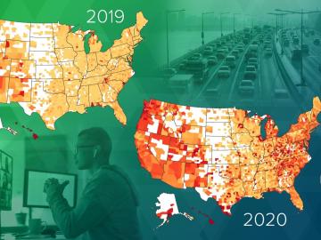
Researchers at Oak Ridge National Laboratory have empirically quantified the shifts in routine daytime activities, such as getting a morning coffee or takeaway dinner, following safer at home orders during the early days of the COVID-19 pandemic.
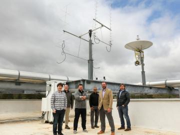
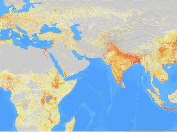
Oak Ridge National Laboratory is debuting a small satellite ground station that uses high-performance computing to support automated detection of changes to Earth’s landscape.
Unequal access to modern infrastructure is a feature of growing cities, according to a study published this week in the Proceedings of the National Academy of Sciences
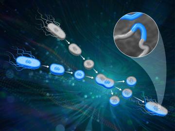
ORNL scientists had a problem mapping the genomes of bacteria to better understand the origins of their physical traits and improve their function for bioenergy production.
Every day, hundreds of thousands of commuters across the country travel from houses, apartments and other residential spaces to commercial buildings — from offices and schools to gyms and grocery stores.
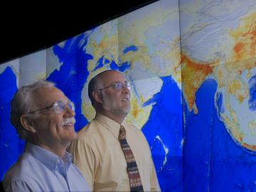
ORNL’s Budhendra “Budhu” Bhaduri has been elected a fellow of the American Association of Geographers.