ORNL researchers are demonstrating how integrated automation, robotics, imaging, sensors, and real-time edge computing capabilities can accelerate scientific discoveries in field experiments, providing insights into strategies for enhancing aboveground plant productivity, belowground soil carbon storage, and monitoring ecosystem responses.
Transforming the current pace and scale of measurements belowground is critical to address knowledge gaps about the how spatial and temporal variability in soils affects carbon and nutrient cycling. To meet the grand challenge of sequestering atmospheric carbon dioxide in soils at landscape-scales, more data are needed.
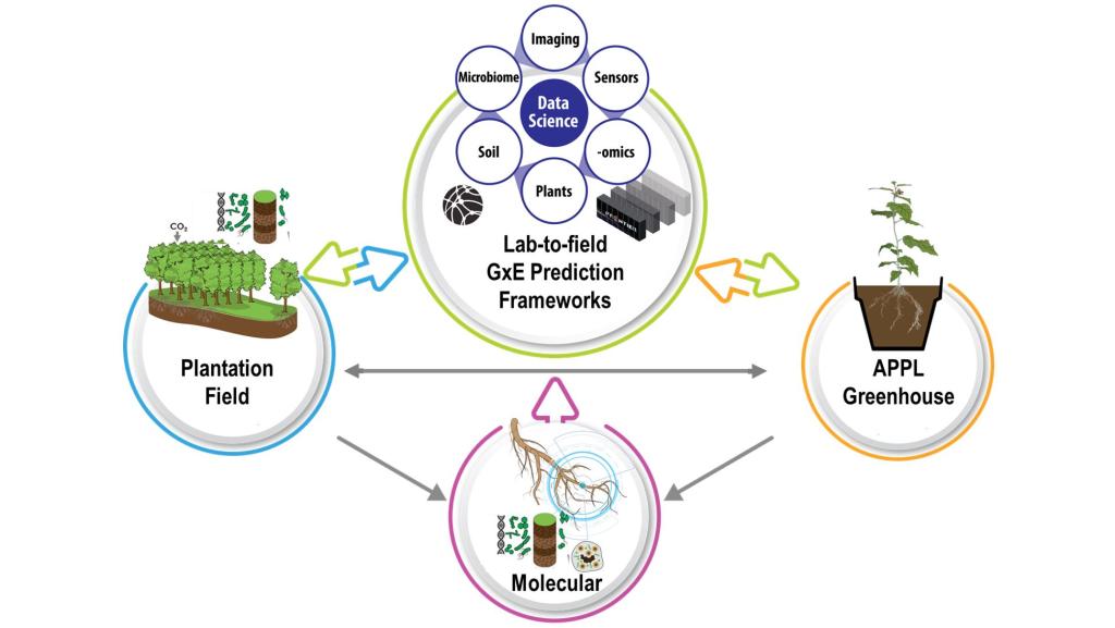
These data will inform predictive models on responses of managed and natural ecosystems, and speed research and development of crops with higher carbon storage capacity above and belowground — crops that are essential to building a sustainable bio-based carbon-neutral economy.
Demonstrating a new, autonomous approach to field science
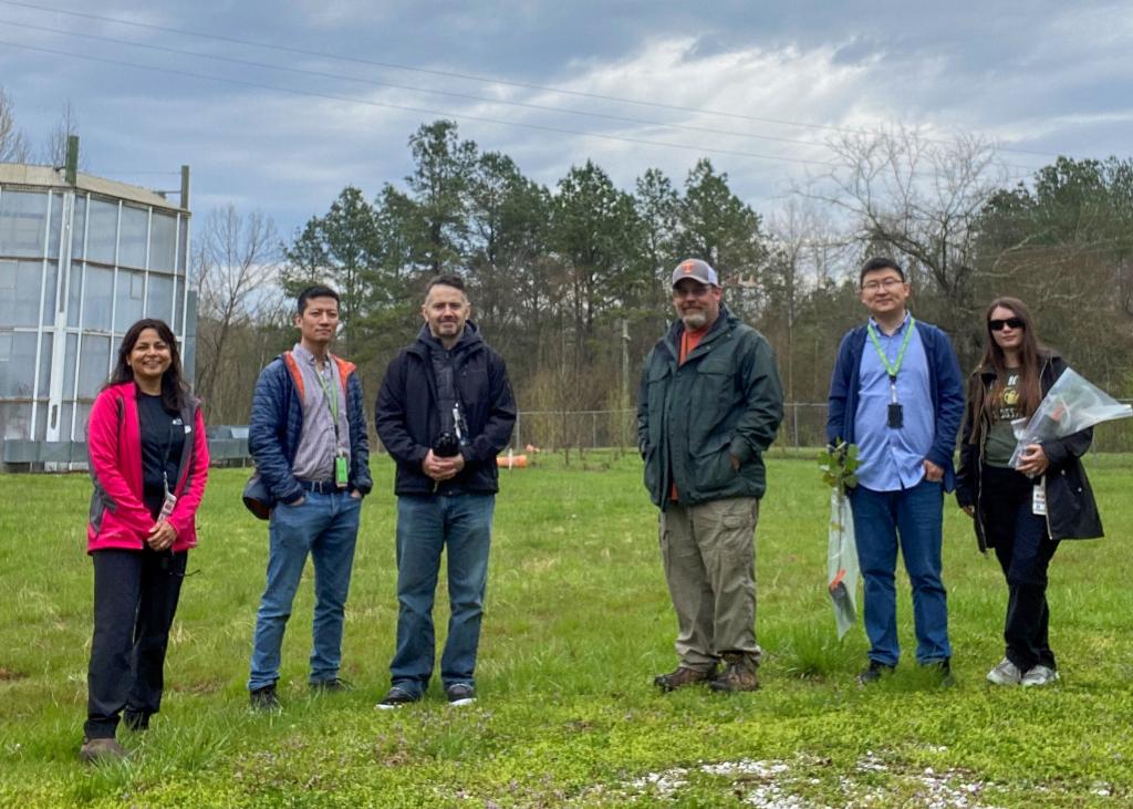
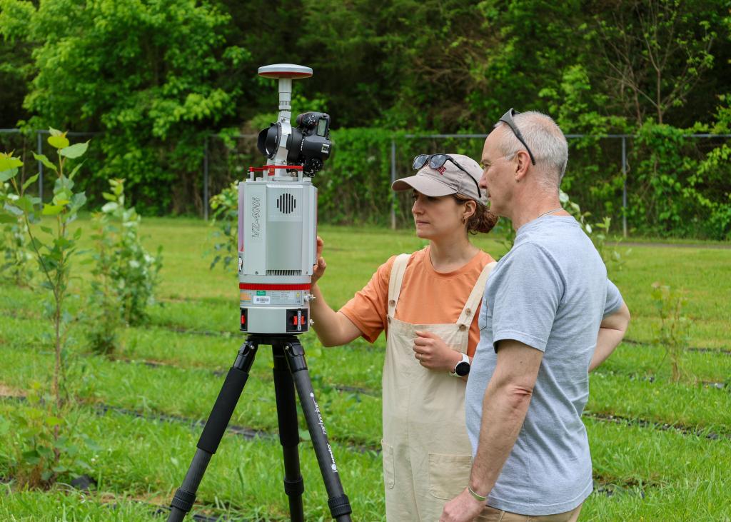
As part of this SMART Plant F-series project, researchers designed and built small, all-terrain robots that can dig and collect soil samples – depth and volume specified collection of soil that scientists study to understand how carbon, nutrients, and other factors vary belowground in different locations and at various depths. The site located on Oak Ridge reservation, is a first SMART bioenergy site of its kind to collect data from in-ground, on the ground, mobile and aerial sensors. Onboard sensors send data about the soil samples to a computing station at the field in real-time.
Scientists are ground-truthing the data the system collects by comparing it to samples secured through more traditional, manual methods. The field is planted with 200 variants of poplar, a fast-growing bioenergy feedstock, and researchers have been evaluating soil, root, and leaf samples collected from the field site.
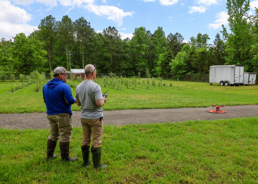
The team developed the necessary cloud communication and data handling workflows to enable the edge computing station to collect the data from these aerial, on-ground and belowground sensors. Under the ORNL INTERSECT initiative , Udaya Kalluri and team are developing computational microservices for real-time automated assessment of the sample data and autonomous steering of experiments that directs and executes on sampling protocols to inform carbon sequestration research.
This proof-of-principle project demonstrates how automation can speed scientific discoveries in the field. It is the first step in producing a lab-to-field plant performance prediction capability to accelerate development of better crops in support of a sustainable bioeconomy.