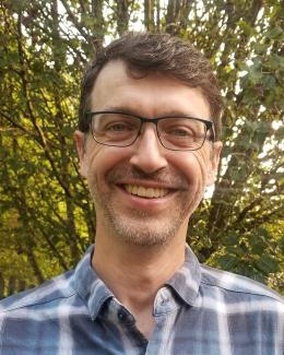
Bio
When you absolutely need to distinguish between rock-shaped houses and house-shaped rocks in satellite imagery, I'm the guy to call.
Geographic Information Science (GIS), identifying/interpreting features in satellite imagery, creating training datasets for machine learning, and the related QA/QC processes are my specialties. In my eight years at ORNL, I have worked on various projects, all related to detecting features in satellite imagery.
- Settlement mapping (supporting the Gates Foundation's effort to eradicate polio)
- LandScan (worldwide population density and distribution datasets)
- US Structures (building locations in the US)
- Building Damage Assessment (automatically detecting damaged buildings due to natural and man-made disasters)
- Teaching other people the art and science of creating high quality datasets for deep learning applications
I am passionate about bringing my diverse skill set to our team, and being a part of helping science create a better world for the people living in it.
After work I enjoy birding, backpacking, and beekeeping.

