
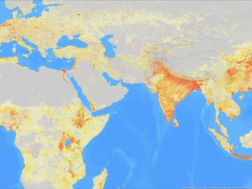
A novel approach developed by scientists at ORNL can scan massive datasets of large-scale satellite images to more accurately map infrastructure – such as buildings and roads – in hours versus days.

A typhoon strikes an island in the Pacific Ocean, downing power lines and cell towers. An earthquake hits a remote mountainous region, destroying structures and leaving no communication infrastructure behind.
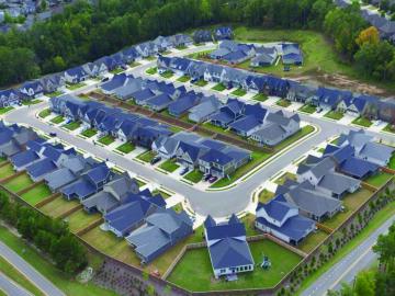
To better determine the potential energy cost savings among connected homes, researchers at Oak Ridge National Laboratory developed a computer simulation to more accurately compare energy use on similar weather days.
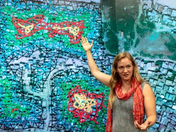
Christa Brelsford, a Liane B. Russell Fellow at the Department of Energy’s Oak Ridge National Laboratory, decided as a teenager growing up in rural Alaska to use her empirical mind and math and science skills to do good in the world.

We ask some of our young researchers why they chose a career in science, what they are working on at ORNL, and where they would like to go with their careers.
OAK RIDGE, Tenn., March 13, 2019 – Two technologies from the Department of Energy’s Oak Ridge National Laboratory have received national Excellence in Technology Transfer awards from the Federal Laboratory Consortium for Technology Transfer: “Qrypt Lice
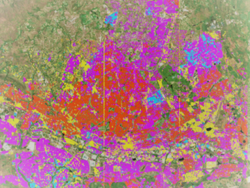
Geospatial scientists at Oak Ridge National Laboratory analyzed three cities of varying infrastructures to look for patterns of electricity use and locate “dark spots” where informal neighborhoods may lack access to power.
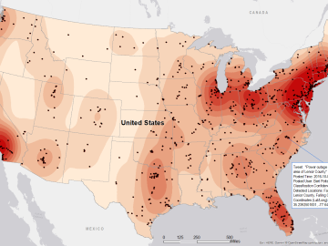
Gleaning valuable data from social platforms such as Twitter—particularly to map out critical location information during emergencies— has become more effective and efficient thanks to Oak Ridge National Laboratory.

As hurricanes barrel toward the coastlines and wildfires rage in arid regions of the United States, scientists at the Department of Energy’s Oak Ridge National Laboratory are providing critical geospatial data to support first responders as they work to