


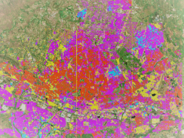
Geospatial scientists at Oak Ridge National Laboratory analyzed three cities of varying infrastructures to look for patterns of electricity use and locate “dark spots” where informal neighborhoods may lack access to power.
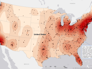
Gleaning valuable data from social platforms such as Twitter—particularly to map out critical location information during emergencies— has become more effective and efficient thanks to Oak Ridge National Laboratory.

Electric utilities seeking to enhance worker safety and system reliability by using drones to inspect their transmission systems can look to a new report by Oak Ridge National Laboratory researchers to help guide their efforts. The report by ORNL’s Unmanned Aerial Systems Research Ce...