Updated software improves slicing for large-format 3D printing
Wildfires have shaped the environment for millennia, but they are increasing in frequency, range and intensity in response to a hotter climate. The phenomenon is being incorporated into high-resolution simulations of the Earth’s climate by scientists at the Department of Energy’s Oak Ridge National Laboratory, with a mission to better understand and predict environmental change.
When geoinformatics engineering researchers at the Department of Energy’s Oak Ridge National Laboratory wanted to better understand changes in land areas and points of interest around the world, they turned to the locals — their data, at least.
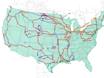
Oak Ridge National Laboratory researchers used images from a photo-sharing website to identify crude oil train routes across the nation to provide data that could help transportation planners better understand regional impacts.
Over the past decade, teams of engineers, chemists and biologists have analyzed the physical and chemical properties of cicada wings, hoping to unlock the secret of their ability to kill microbes on contact. If this function of nature can be replicated by science, it may lead to products with inherently antibacterial surfaces that are more effective than current chemical treatments.
Oak Ridge National Laboratory researchers developed a model framework that identifies ways to ensure wildlife can safely navigate their habitats while not unduly affecting infrastructure.
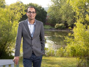
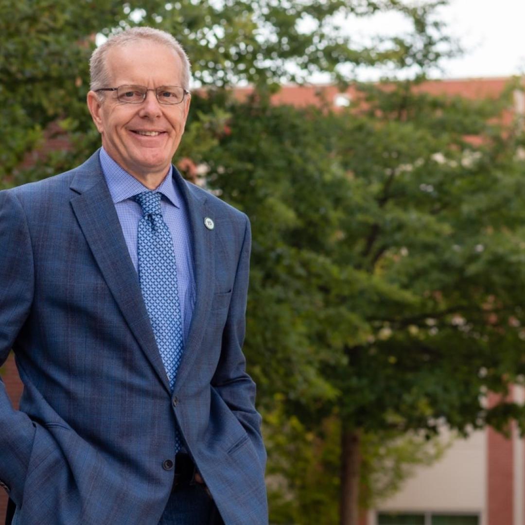
Growing up exploring the parklands of India where Rudyard Kipling drew inspiration for The Jungle Book left Saubhagya Rathore with a deep respect and curiosity about the natural world. He later turned that interest into a career in environmental science and engineering, and today he is working at ORNL to improve our understanding of watersheds for better climate prediction and resilience.
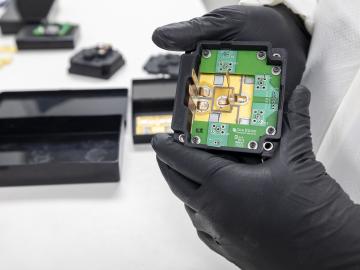
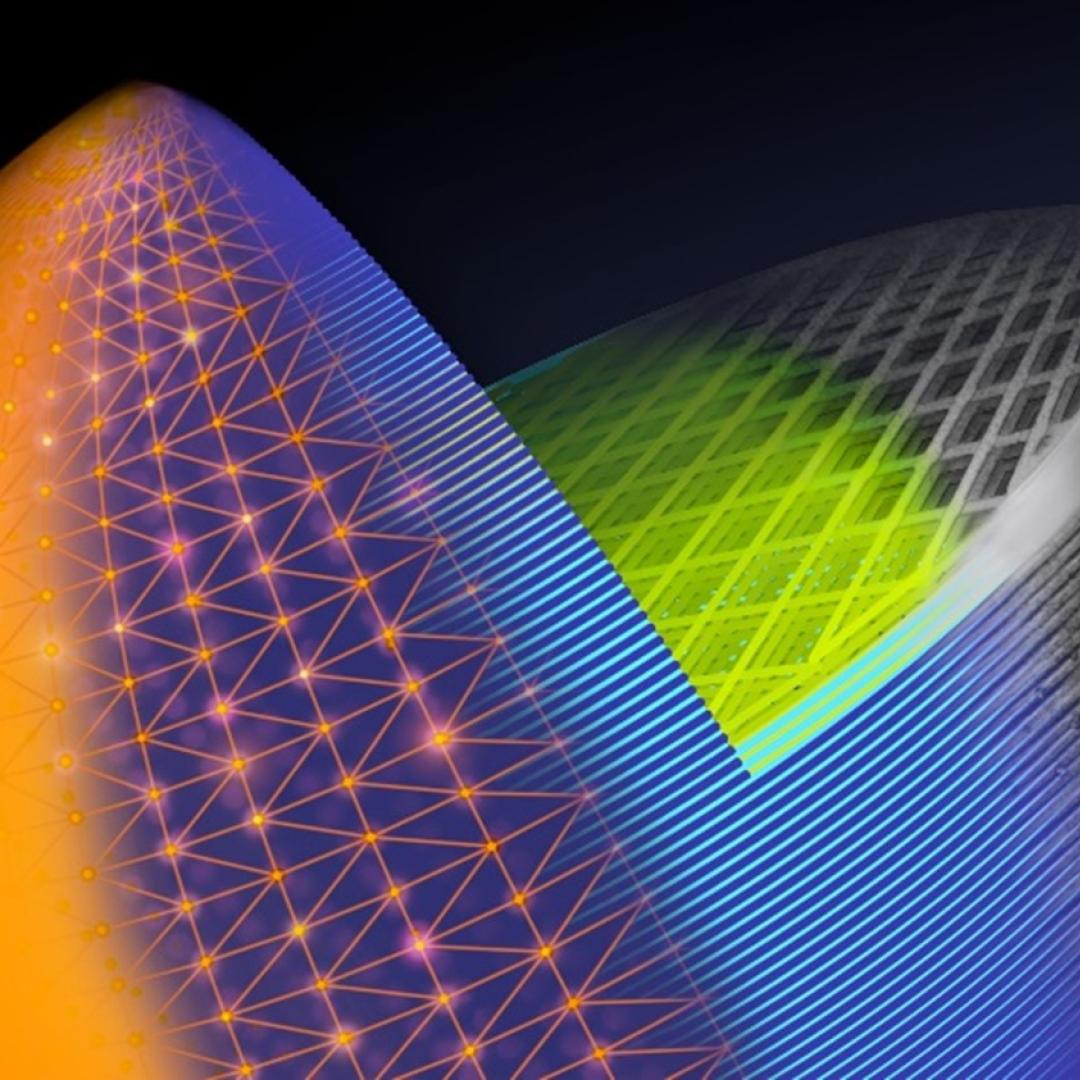
Researchers at the Department of Energy’s Oak Ridge National Laboratory are supporting the grid by improving its smallest building blocks: power modules that act as digital switches.
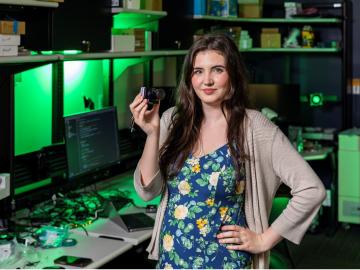
Tristen Mullins enjoys the hidden side of computers. As a signals processing engineer for ORNL, she tries to uncover information hidden in components used on the nation’s power grid — information that may be susceptible to cyberattacks.
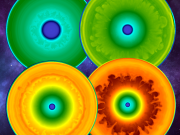
As a result of largescale 3D supernova simulations conducted on the Oak Ridge Leadership Computing Facility’s Summit supercomputer by researchers from the University of Tennessee and Oak Ridge National Laboratory, astrophysicists now have the most complete picture yet of what gravitational waves from exploding stars look like.
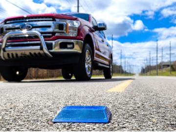
Working with Western Michigan University and other partners, ORNL engineers are placing low-powered sensors in the reflective raised pavement markers that are already used to help drivers identify lanes. Microchips inside the markers transmit information to passing cars about the road shape to help autonomous driving features function even when vehicle cameras or remote laser sensing, called LiDAR, are unreliable because of fog, snow, glare or other obstructions.