

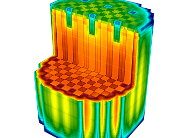
The techniques Theodore Biewer and his colleagues are using to measure whether plasma has the right conditions to create fusion have been around awhile.

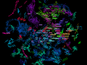
We have a data problem. Humanity is now generating more data than it can handle; more sensors, smartphones, and devices of all types are coming online every day and contributing to the ever-growing global dataset.
Each year, approximately 6 billion gallons of fuel are wasted as vehicles wait at stop lights or sit in dense traffic with engines idling, according to US Department of Energy estimates.
OAK RIDGE, Tenn., Feb. 19, 2020 — The U.S. Department of Energy’s Oak Ridge National Laboratory and the Tennessee Valley Authority have signed a memorandum of understanding to evaluate a new generation of flexible, cost-effective advanced nuclear reactors.
As the second-leading cause of death in the United States, cancer is a public health crisis that afflicts nearly one in two people during their lifetime.

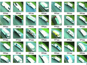
A novel approach developed by scientists at ORNL can scan massive datasets of large-scale satellite images to more accurately map infrastructure – such as buildings and roads – in hours versus days.
A typhoon strikes an island in the Pacific Ocean, downing power lines and cell towers. An earthquake hits a remote mountainous region, destroying structures and leaving no communication infrastructure behind.

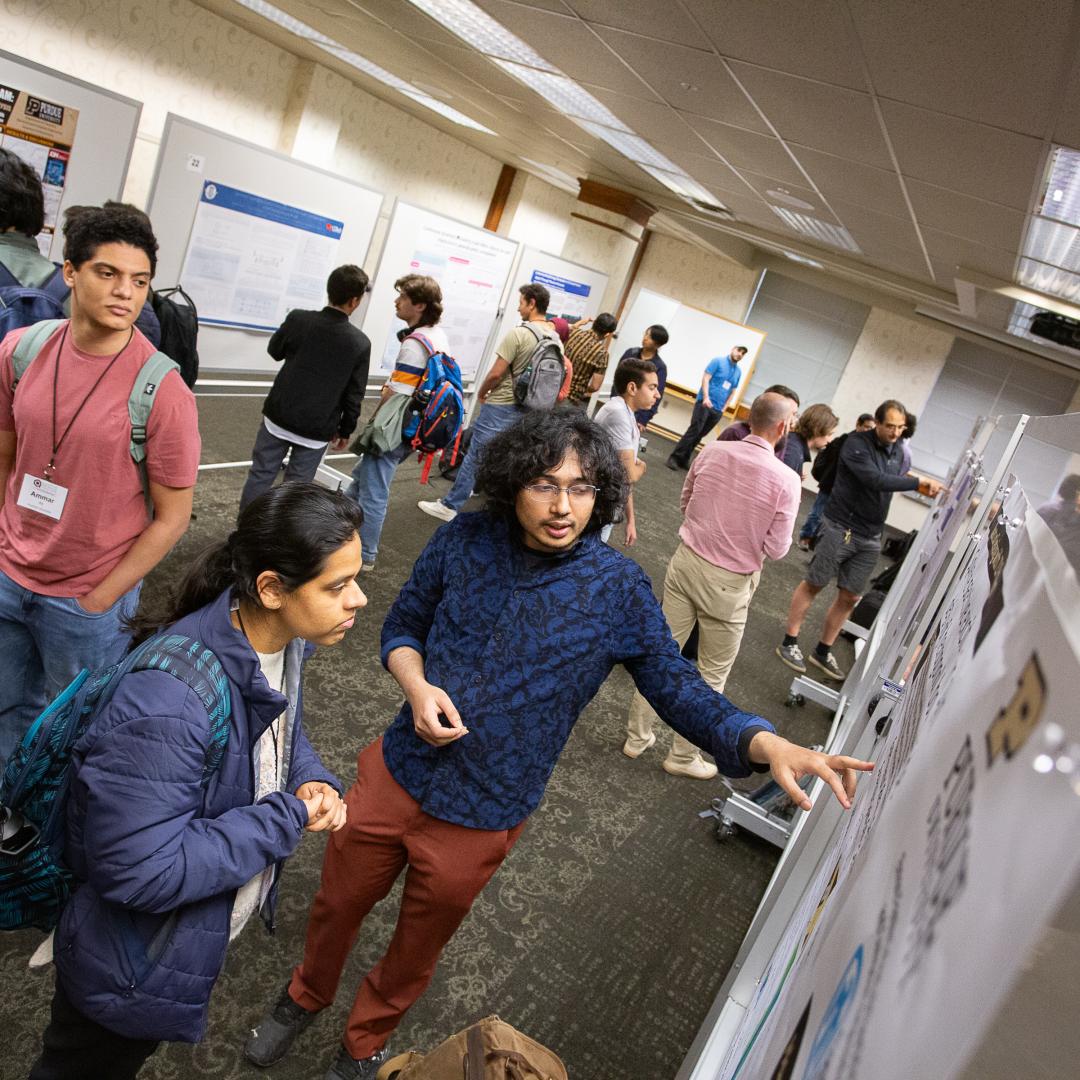
Researchers across the scientific spectrum crave data, as it is essential to understanding the natural world and, by extension, accelerating scientific progress.