ORNL will use its land surface modeling tools to determine Baltimore’s climate risk and analyze green infrastructure improvements that can help mitigate impacts on underserved communities as part of a DOE Urban Integrated Field Laboratory project. Source: Google Earth, accessed Sept. 12, 2022

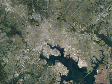
ORNL researchers are deploying their broad expertise in climate data and modeling to create science-based mitigation strategies for cities stressed by climate change as part of two U.S. Department of Energy Urban Integrated Field Laboratory projects.