
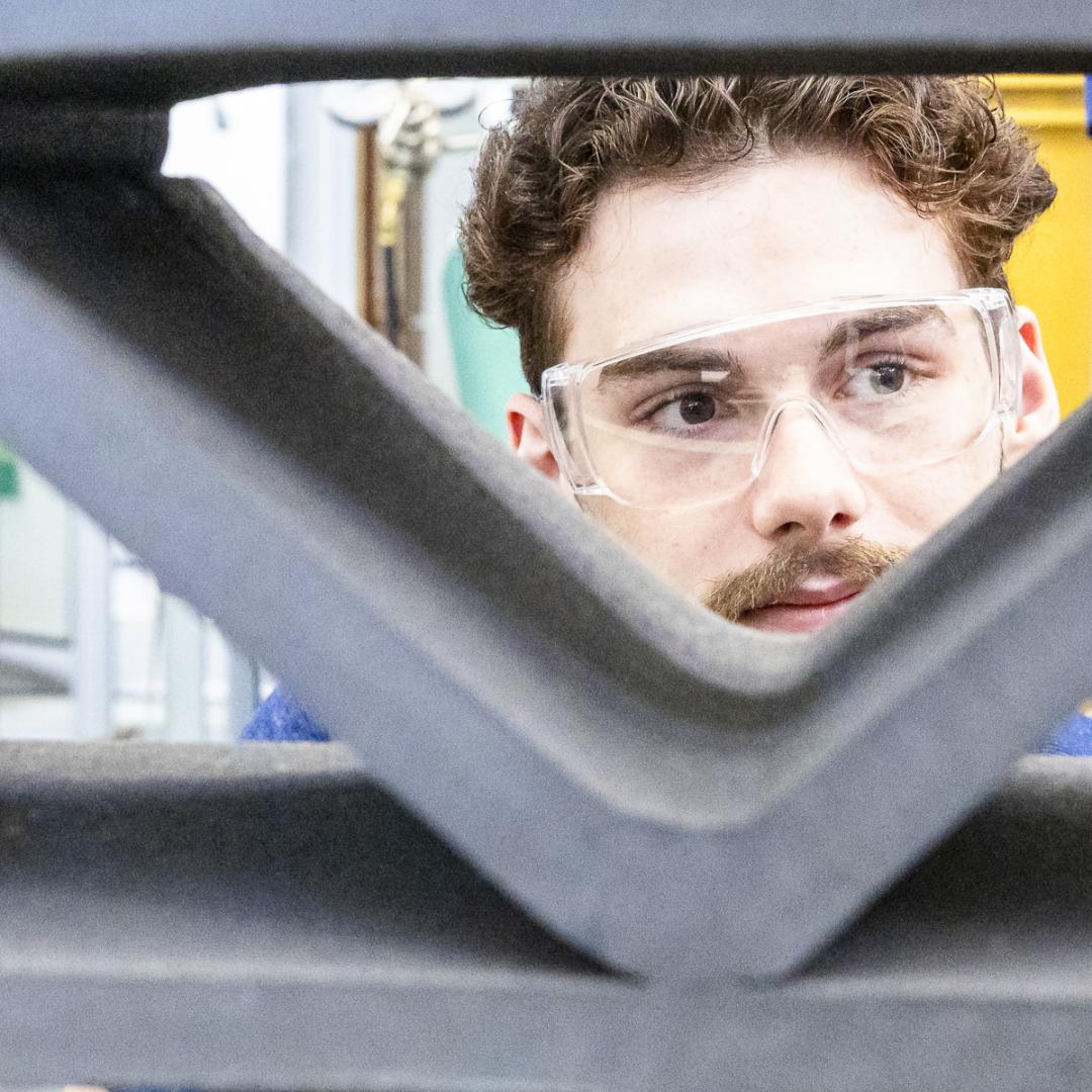
Inspection technology developed by Oak Ridge National Laboratory will help deliver plasma heating to the ITER international fusion facility.
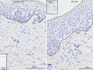
University of Pennsylvania researchers called on computational systems biology expertise at Oak Ridge National Laboratory to analyze large datasets of single-cell RNA sequencing from skin samples afflicted with atopic dermatitis.
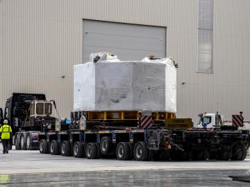
Staff at Oak Ridge National Laboratory organized transport for a powerful component that is critical to the world’s largest experiment, the international ITER project.
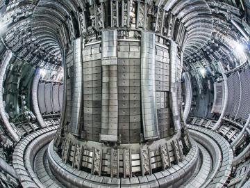
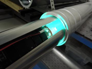
Equipment and expertise from Oak Ridge National Laboratory will allow scientists studying fusion energy and technologies to acquire crucial data during landmark fusion experiments in Europe.
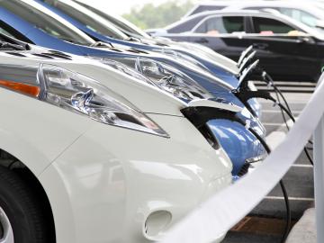
Researchers at Oak Ridge National Laboratory have developed a nationwide modeling tool to help infrastructure planners decide where and when to locate electric vehicle charging stations along interstate highways. The goal is to encourage the adoption of EVs for cross-country travel.
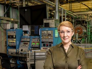
From the helm of a one-of-a-kind organization that brings nuclear fusion and fission expertise together to pave the way to expanding carbon-free energy, Kathy McCarthy can trace the first step of her engineering career back to
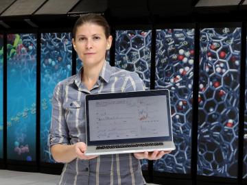
Ada Sedova’s journey to Oak Ridge National Laboratory has taken her on the path from pre-med studies in college to an accelerated graduate career in mathematics and biophysics and now to the intersection of computational science and biology
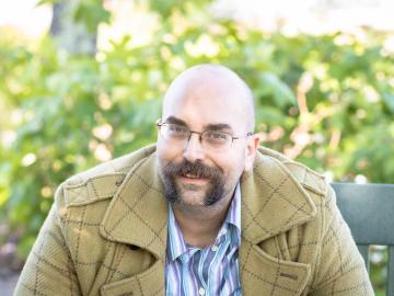
With the rise of the global pandemic, Omar Demerdash, a Liane B. Russell Distinguished Staff Fellow at ORNL since 2018, has become laser-focused on potential avenues to COVID-19 therapies.
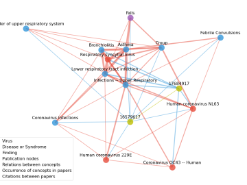
Scientists have tapped the immense power of the Summit supercomputer at Oak Ridge National Laboratory to comb through millions of medical journal articles to identify potential vaccines, drugs and effective measures that could suppress or stop the

A novel approach developed by scientists at ORNL can scan massive datasets of large-scale satellite images to more accurately map infrastructure – such as buildings and roads – in hours versus days.