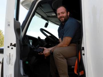
As vehicles gain technological capabilities, car manufacturers are using an increasing number of computers and sensors to improve situational awareness and enhance the driving experience.

When Matt McCarthy saw an opportunity for a young career scientist to influence public policy, he eagerly raised his hand.
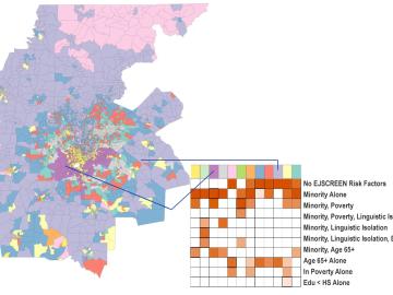
Scientists develop environmental justice lens to identify neighborhoods vulnerable to climate change
A new capability to identify urban neighborhoods, down to the block and building level, that are most vulnerable to climate change could help ensure that mitigation and resilience programs reach the people who need them the most.
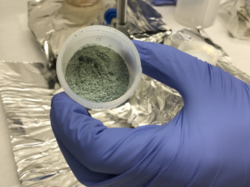
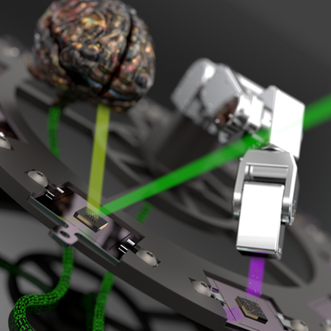
ORNL researchers used the nation’s fastest supercomputer to map the molecular vibrations of an important but little-studied uranium compound produced during the nuclear fuel cycle for results that could lead to a cleaner, safer world.

Tackling the climate crisis and achieving an equitable clean energy future are among the biggest challenges of our time.
Unequal access to modern infrastructure is a feature of growing cities, according to a study published this week in the Proceedings of the National Academy of Sciences
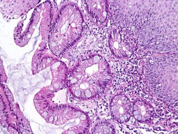
A team including researchers from the Department of Energy’s Oak Ridge National Laboratory has developed a digital tool to better monitor a condition known as Barrett’s esophagus, which affects more than 3 million people in the United States.
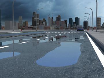
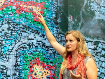
Researchers at Oak Ridge National Laboratory have identified a statistical relationship between the growth of cities and the spread of paved surfaces like roads and sidewalks. These impervious surfaces impede the flow of water into the ground, affecting the water cycle and, by extension, the climate.
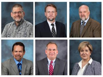
Six ORNL scientists have been elected as fellows to the American Association for the Advancement of Science, or AAAS.

A novel approach developed by scientists at ORNL can scan massive datasets of large-scale satellite images to more accurately map infrastructure – such as buildings and roads – in hours versus days.