Filter News
Area of Research
- (-) National Security (4)
- (-) Nuclear Science and Technology (1)
- Biology and Environment (29)
- Biology and Soft Matter (1)
- Clean Energy (37)
- Computational Biology (1)
- Computational Engineering (1)
- Computer Science (1)
- Electricity and Smart Grid (1)
- Functional Materials for Energy (1)
- Fusion and Fission (2)
- Fusion Energy (1)
- Materials (9)
- Materials for Computing (2)
- Neutron Science (8)
- Supercomputing (47)
- Transportation Systems (1)
News Type
News Topics
- (-) Decarbonization (3)
- (-) Summit (2)
- 3-D Printing/Advanced Manufacturing (6)
- Advanced Reactors (12)
- Artificial Intelligence (12)
- Big Data (6)
- Bioenergy (4)
- Biology (5)
- Biomedical (4)
- Biotechnology (1)
- Buildings (1)
- Chemical Sciences (2)
- Climate Change (5)
- Computer Science (21)
- Coronavirus (3)
- Cybersecurity (19)
- Energy Storage (2)
- Environment (6)
- Exascale Computing (1)
- Frontier (1)
- Fusion (9)
- Grid (6)
- High-Performance Computing (4)
- Isotopes (5)
- Machine Learning (12)
- Materials (2)
- Materials Science (6)
- Molten Salt (4)
- Nanotechnology (1)
- National Security (34)
- Neutron Science (9)
- Nuclear Energy (40)
- Partnerships (4)
- Physics (3)
- Quantum Science (1)
- Security (11)
- Simulation (1)
- Space Exploration (5)
- Sustainable Energy (4)
- Transformational Challenge Reactor (3)
- Transportation (2)
Media Contacts
ORNL, the Department of Energy’s largest multidisciplinary laboratory, and Fairbanks Morse Defense, a portfolio company of Arcline Investment Management, have entered into a Memorandum of Understanding to collaborate on the development and integration of alternative fuel technologies aimed at reducing the marine engine’s reliance on fossil fuels.
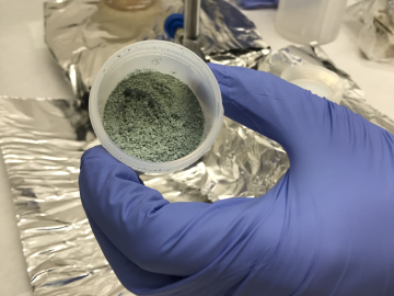
ORNL researchers used the nation’s fastest supercomputer to map the molecular vibrations of an important but little-studied uranium compound produced during the nuclear fuel cycle for results that could lead to a cleaner, safer world.

Tackling the climate crisis and achieving an equitable clean energy future are among the biggest challenges of our time.
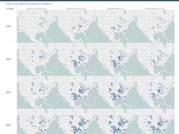
The combination of bioenergy with carbon capture and storage could cost-effectively sequester hundreds of millions of metric tons per year of carbon dioxide in the United States, making it a competitive solution for carbon management, according to a new analysis by ORNL scientists.
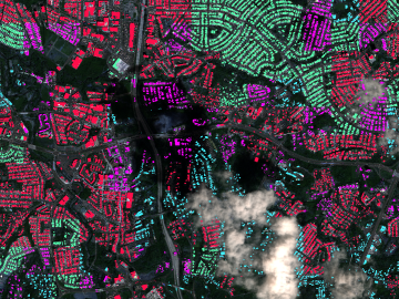
A novel approach developed by scientists at ORNL can scan massive datasets of large-scale satellite images to more accurately map infrastructure – such as buildings and roads – in hours versus days.


