


A novel approach developed by scientists at ORNL can scan massive datasets of large-scale satellite images to more accurately map infrastructure – such as buildings and roads – in hours versus days.
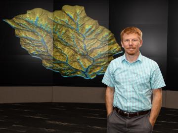
As a computational hydrologist at Oak Ridge National Laboratory, Ethan Coon combines his talent for math with his love of coding to solve big science questions about water quality, water availability for energy production, climate change, and the