


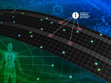
Digital twins are exactly what they sound like: virtual models of physical reality that continuously update to reflect changes in the real world.
A technology developed at ORNL and used by the U.S. Naval Information Warfare Systems Command, or NAVWAR, to test the capabilities of commercial security tools has been licensed to cybersecurity firm Penguin Mustache to create its Evasive.ai platform. The company was founded by the technology’s creator, former ORNL scientist Jared M. Smith, and his business partner, entrepreneur Brandon Bruce.

U2opia Technology, a consortium of technology and administrative executives with extensive experience in both industry and defense, has exclusively licensed two technologies from ORNL that offer a new method for advanced cybersecurity monitoring in real time.

A partnership of ORNL, the Tennessee Department of Economic and Community Development, the Community Reuse Organization of East Tennessee and TVA that aims to attract nuclear energy-related firms to Oak Ridge has been recognized with a state and local economic development award from the Federal Laboratory Consortium.
ORNL scientists will present new technologies available for licensing during the annual Technology Innovation Showcase. The event is 9 a.m. to 3 p.m. Thursday, June 16, at the Manufacturing Demonstration Facility at ORNL’s Hardin Valley campus.
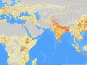
It’s a simple premise: To truly improve the health, safety, and security of human beings, you must first understand where those individuals are.
A team of researchers has developed a novel, machine learning–based technique to explore and identify relationships among medical concepts using electronic health record data across multiple healthcare providers.
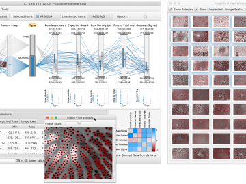
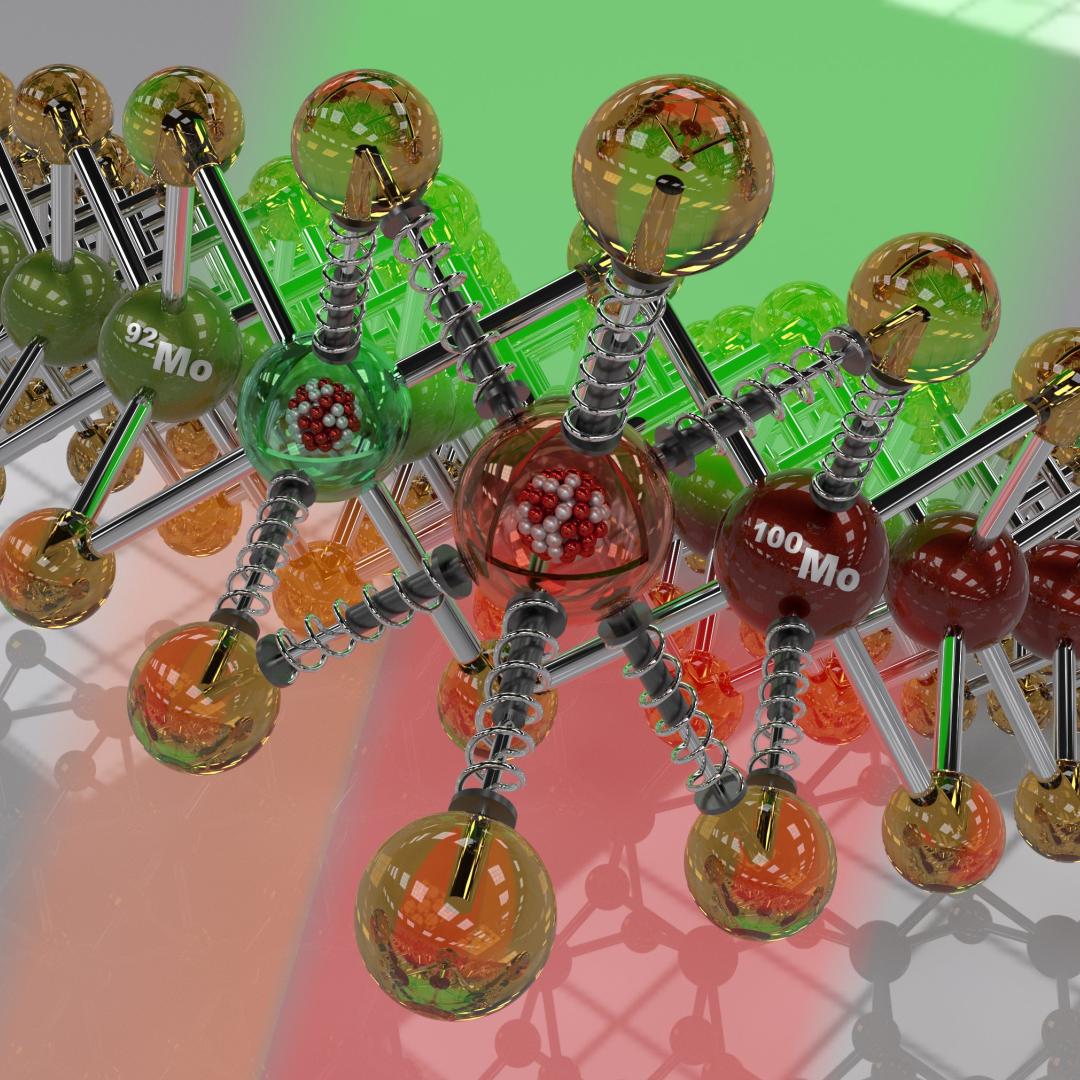
From materials science and earth system modeling to quantum information science and cybersecurity, experts in many fields run simulations and conduct experiments to collect the abundance of data necessary for scientific progress.

A novel approach developed by scientists at ORNL can scan massive datasets of large-scale satellite images to more accurately map infrastructure – such as buildings and roads – in hours versus days.
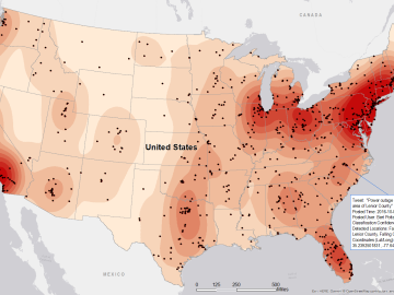
Gleaning valuable data from social platforms such as Twitter—particularly to map out critical location information during emergencies— has become more effective and efficient thanks to Oak Ridge National Laboratory.