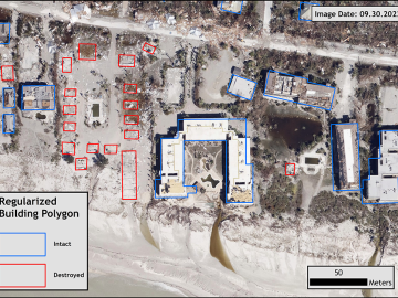
Over the past seven years, researchers in ORNL’s Geospatial Science and Human Security Division have mapped and characterized all structures within the United States and its territories to aid FEMA in its response to disasters. This dataset provides a consistent, nationwide accounting of the buildings where people reside and work.
Though Scott Stewart recently received an Early Career Award from the Institute of Nuclear Material Management, he is regarded as a seasoned professional in the nuclear field with over 10 years of experience.
When Matt McCarthy saw an opportunity for a young career scientist to influence public policy, he eagerly raised his hand.
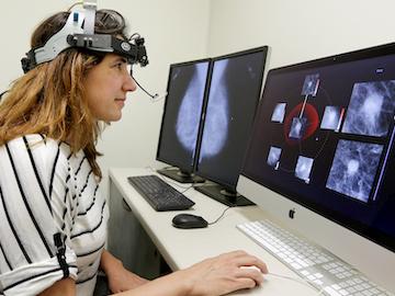
Cameras see the world differently than humans. Resolution, equipment, lighting, distance and atmospheric conditions can impact how a person interprets objects on a photo.
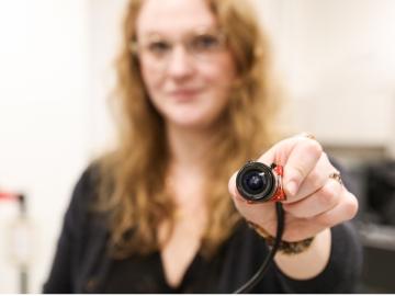
Though Nell Barber wasn’t sure what her future held after graduating with a bachelor’s degree in psychology, she now uses her interest in human behavior to design systems that leverage machine learning algorithms to identify faces in a crowd.
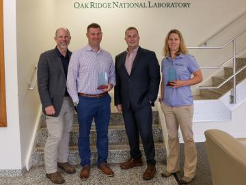
In front of family and friends, Lt. Col. Jessica Critcher and Maj. Micah McCracken gave their final report on their eye-opening year as ORNL military fellows.
ORNL scientists will present new technologies available for licensing during the annual Technology Innovation Showcase. The event is 9 a.m. to 3 p.m. Thursday, June 16, at the Manufacturing Demonstration Facility at ORNL’s Hardin Valley campus.
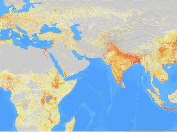
It’s a simple premise: To truly improve the health, safety, and security of human beings, you must first understand where those individuals are.
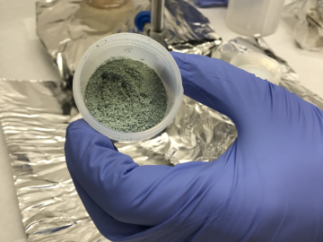
ORNL researchers used the nation’s fastest supercomputer to map the molecular vibrations of an important but little-studied uranium compound produced during the nuclear fuel cycle for results that could lead to a cleaner, safer world.
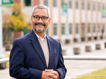
ORNL’s Budhendra “Budhu” Bhaduri has been elected a fellow of the American Association of Geographers. The honor recognizes Bhaduri as “a world leader in innovation, development and application of research in human dynamics, geographic data science, remote sensing and scalable geocomputation.”