
Case closed: Neutrons settle 40-year debate on enzyme for drug design

When the COVID-19 pandemic stunned the world in 2020, researchers at ORNL wondered how they could extend their support and help
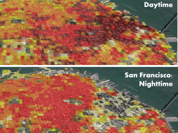
Oak Ridge National Laboratory’s high-resolution population distribution database, LandScan USA, became permanently available to researchers in time to aid the response to the novel coronavirus pandemic.
