Katy Bradford: Cassette approach offers compelling construction solution
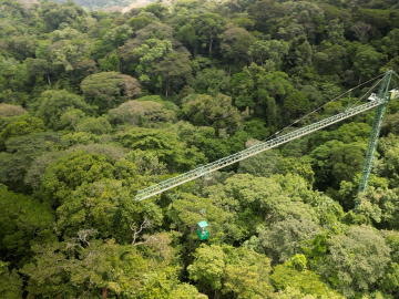
Scientists using high-resolution aerial scans and computational modeling concluded that wildfires, storms and selective logging have become key drivers behind rainforest carbon emissions, outpacing clear-cutting practices.

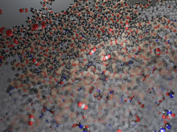
A team led by scientists at ORNL identified and demonstrated a method to process a plant-based material called nanocellulose that reduced energy needs by a whopping 21%, using simulations on the lab’s supercomputers and follow-on analysis.
ORNL’s Joshua New was named the 2024 Researcher of the Year by R&D World magazine as part of its R&D 100 Professional Award winners.
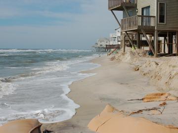
A study found that beaches with manmade fortifications recover more slowly from hurricanes than natural beaches, losing more sand and vegetation. The researchers used satellite images and light detection and ranging data, or LIDAR, to measure elevation changes and vegetation coverage. Changes in elevation showed how much sand was depleted during the storm and how much sand returned throughout the following year.
Researchers at ORNL have demonstrated that small molecular tweaks to surfaces can improve absorption technology for direct air capture of carbon dioxide. The team added a charged polymer layer to an amino acid solution, and then, through spectroscopy and simulation, found that the charged layer can hold amino acids at its surface.

A research team led by the Department of Energy’s Oak Ridge National Laboratory demonstrated an effective and reliable new way to identify and quantify polyethylene glycols in various samples.
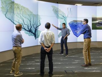
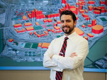
To better predict long-term flooding risk, scientists at the Department of Energy’s Oak Ridge National Laboratory developed a 3D modeling framework that captures the complex dynamics of water as it flows across the landscape. The framework seeks to provide valuable insights into which communities are most vulnerable as the climate changes, and was developed for a project that’s assessing climate risk and mitigation pathways for an urban area along the Southeast Texas coast.
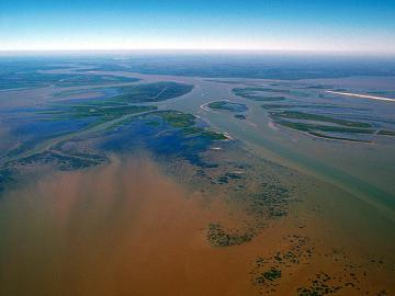
In the wet, muddy places where America’s rivers and lands meet the sea, scientists from the Department of Energy’s Oak Ridge National Laboratory are unearthing clues to better understand how these vital landscapes are evolving under climate change.

Researchers at Oak Ridge National Laboratory have developed free data sets to estimate how much energy any building in the contiguous U.S. will use in 2100. These data sets provide planners a way to anticipate future energy needs as the climate changes.
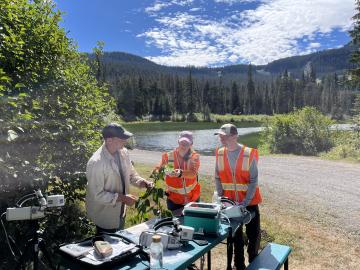
When Oak Ridge National Laboratory's science mission takes staff off-campus, the lab’s safety principles follow. That’s true even in the high mountain passes of Washington and Oregon, where ORNL scientists are tracking a tree species — and where wildfires have become more frequent and widespread.