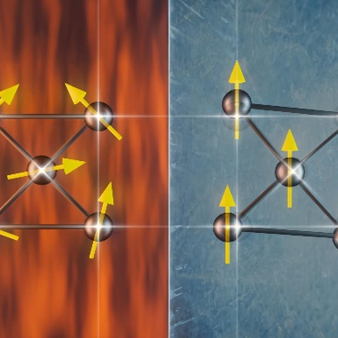
Neutrons reveal the existence of local symmetry breaking in a Weyl semimetal
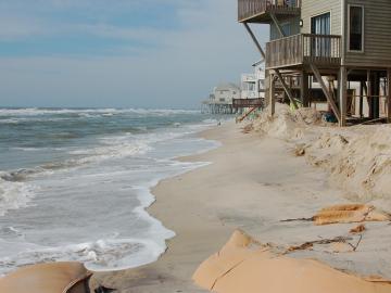
A study found that beaches with manmade fortifications recover more slowly from hurricanes than natural beaches, losing more sand and vegetation. The researchers used satellite images and light detection and ranging data, or LIDAR, to measure elevation changes and vegetation coverage. Changes in elevation showed how much sand was depleted during the storm and how much sand returned throughout the following year.
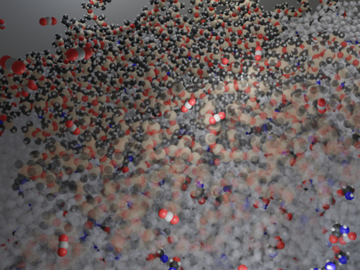
Researchers at ORNL have demonstrated that small molecular tweaks to surfaces can improve absorption technology for direct air capture of carbon dioxide. The team added a charged polymer layer to an amino acid solution, and then, through spectroscopy and simulation, found that the charged layer can hold amino acids at its surface.

A research team led by the Department of Energy’s Oak Ridge National Laboratory demonstrated an effective and reliable new way to identify and quantify polyethylene glycols in various samples.

The world’s fastest supercomputer helped researchers simulate synthesizing a material harder and tougher than a diamond — or any other substance on Earth. The study used Frontier to predict the likeliest strategy to synthesize such a material, thought to exist so far only within the interiors of giant exoplanets, or planets beyond our solar system.
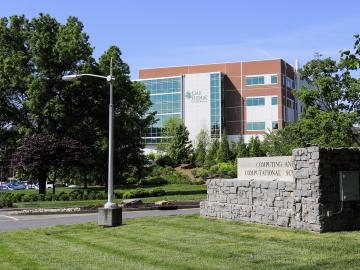
The contract will be awarded to develop the newest high-performance computing system at the Oak Ridge Leadership Computing Facility.
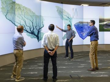
To better predict long-term flooding risk, scientists at the Department of Energy’s Oak Ridge National Laboratory developed a 3D modeling framework that captures the complex dynamics of water as it flows across the landscape. The framework seeks to provide valuable insights into which communities are most vulnerable as the climate changes, and was developed for a project that’s assessing climate risk and mitigation pathways for an urban area along the Southeast Texas coast.
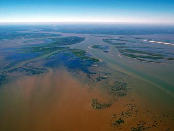
In the wet, muddy places where America’s rivers and lands meet the sea, scientists from the Department of Energy’s Oak Ridge National Laboratory are unearthing clues to better understand how these vital landscapes are evolving under climate change.

Researchers at Oak Ridge National Laboratory have developed free data sets to estimate how much energy any building in the contiguous U.S. will use in 2100. These data sets provide planners a way to anticipate future energy needs as the climate changes.
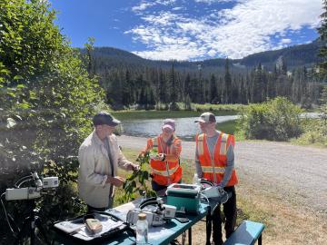
When Oak Ridge National Laboratory's science mission takes staff off-campus, the lab’s safety principles follow. That’s true even in the high mountain passes of Washington and Oregon, where ORNL scientists are tracking a tree species — and where wildfires have become more frequent and widespread.
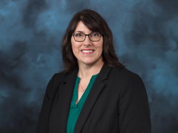
Erin Webb, lead for the Bioresources Science and Engineering group at Oak Ridge National Laboratory, has been elected a Fellow of the American Society of Agricultural and Biological Engineers — the society’s highest honor.