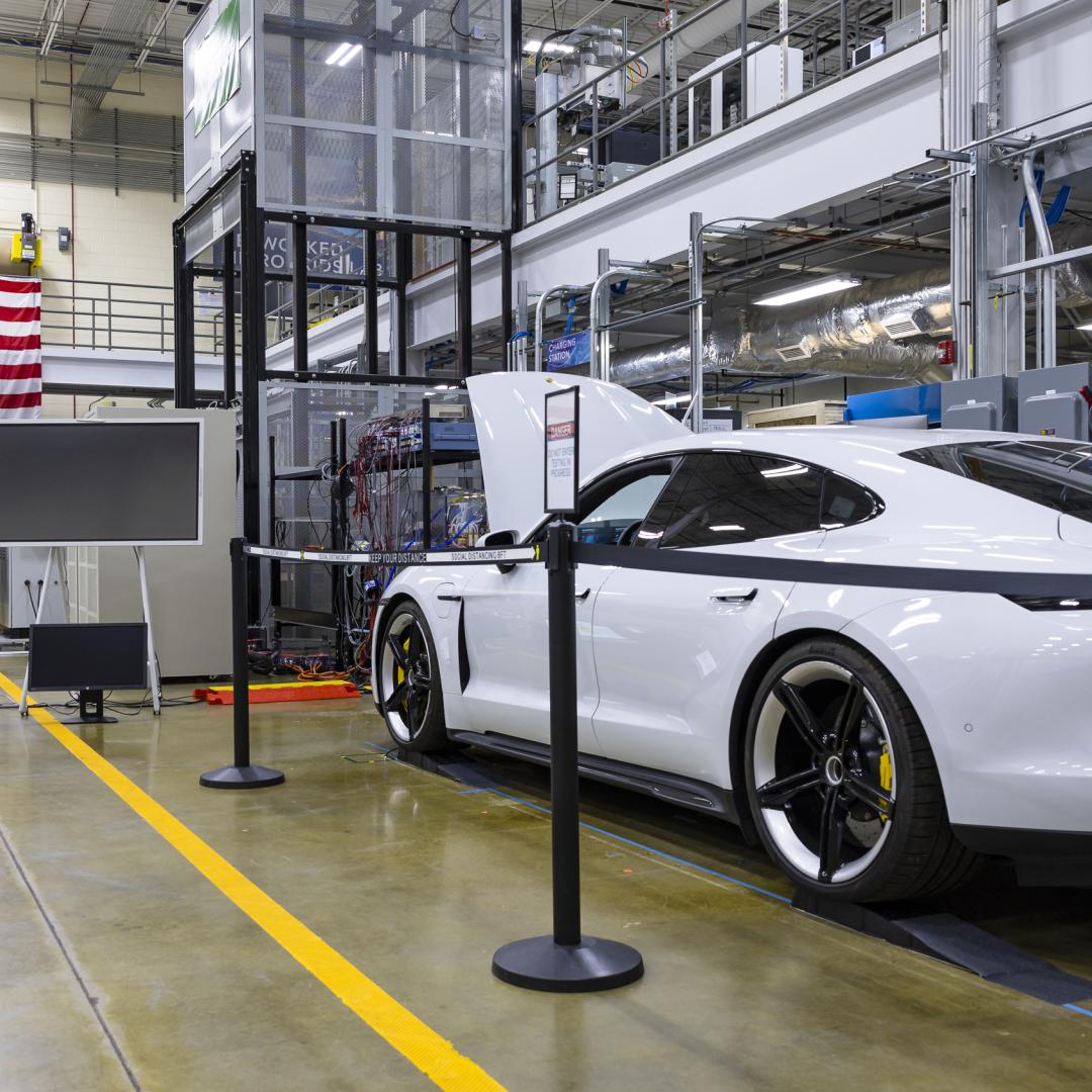
Polyphase wireless power transfer system achieves 270-kilowatt charge, s...
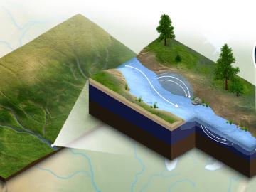
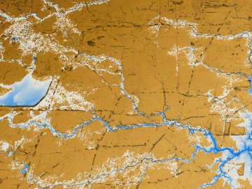
A new modeling capability developed at Oak Ridge National Laboratory incorporates important biogeochemical processes happening in river corridors for a clearer understanding of how water quality will be impacted by climate change, land use and

An international problem like climate change needs solutions that cross boundaries, both on maps and among disciplines. Oak Ridge National Laboratory computational scientist Deeksha Rastogi embodies that approach.
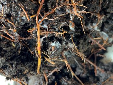
New data hosted by Oak Ridge National Laboratory is helping scientists around the world understand the secret lives of plant roots as well as their impact on the global carbon cycle and climate change.
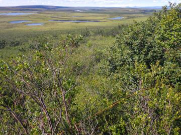
Scientists at Oak Ridge National Laboratory added new plant data to a computer model that simulates Arctic ecosystems, enabling it to better predict how vegetation in rapidly warming northern environments may respond to climate change.
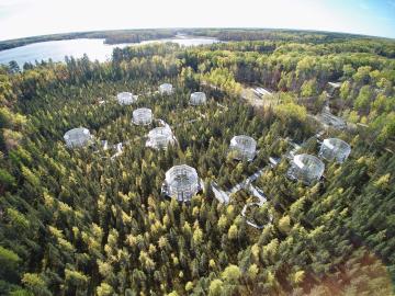
Scientists studying a unique whole-ecosystem warming experiment in the Minnesota peatlands found that microorganisms are increasing methane production faster than carbon dioxide production.
As rising global temperatures alter ecosystems worldwide, the need to accurately simulate complex environmental processes under evolving conditions is more urgent than ever.
Oak Ridge National Laboratory was among an international team, led by Lawrence Livermore National Laboratory, who synthesized 108 elevated carbon dioxide, or CO2, experiments performed in various ecosystems to find out how much carbon is
Researchers at Oak Ridge National Laboratory have identified a statistical relationship between the growth of cities and the spread of paved surfaces like roads and sidewalks. These impervious surfaces impede the flow of water into the ground, affecting the water cycle and, by extension, the climate.

A study by Oak Ridge National Laboratory, the University of Copenhagen, the National Park Service and the U.S. Geological Survey showed that hotter summers and permafrost loss are causing colder water to flow into Arctic streams, which could impact sensitive fish and other wildlife.
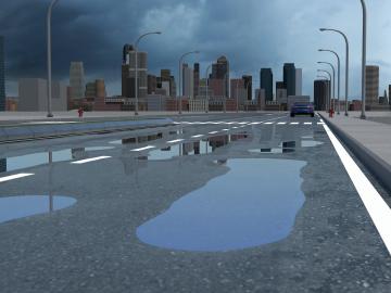
A new tool from Oak Ridge National Laboratory can help planners, emergency responders and scientists visualize how flood waters will spread for any scenario and terrain.
