

ORNL researchers are deploying their broad expertise in climate data and modeling to create science-based mitigation strategies for cities stressed by climate change as part of two U.S. Department of Energy Urban Integrated Field Laboratory projects.
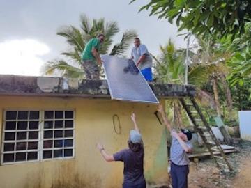
When Hurricane Maria battered Puerto Rico in 2017, winds snapped trees and destroyed homes, while heavy rains transformed streets into rivers. But after the storm passed, the human toll continued to grow as residents struggled without electricity for months. Five years later, power outages remain long and frequent.
Researchers at the Department of Energy’s Oak Ridge National Laboratory and their technologies have received seven 2022 R&D 100 Awards, plus special recognition for a battery-related green technology product.
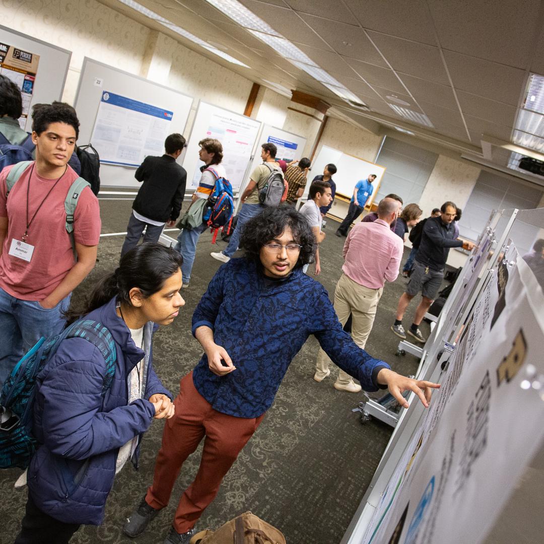
ORNL scientists will present new technologies available for licensing during the annual Technology Innovation Showcase. The event is 9 a.m. to 3 p.m. Thursday, June 16, at the Manufacturing Demonstration Facility at ORNL’s Hardin Valley campus.
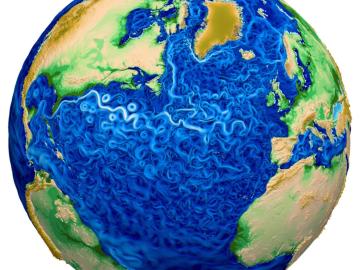
A new version of the Energy Exascale Earth System Model, or E3SM, is two times faster than an earlier version released in 2018.
Six scientists at the Department of Energy’s Oak Ridge National Laboratory were named Battelle Distinguished Inventors, in recognition of obtaining 14 or more patents during their careers at the lab.

Scientists at ORNL used neutron scattering and supercomputing to better understand how an organic solvent and water work together to break down plant biomass, creating a pathway to significantly improve the production of renewable
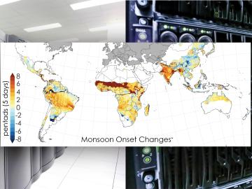
Scientists from the Department of Energy’s Oak Ridge National Laboratory and a dozen other international research institutions have produced the most elaborate set of projections to date that illustrates possible futures for major monsoon regions.
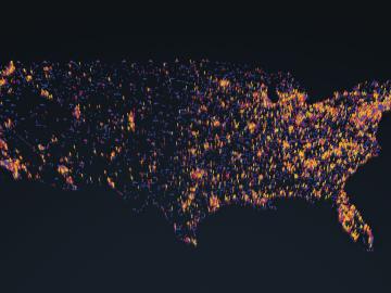
OAK RIDGE, Tenn., May 5, 2020 — By 2050, the United States will likely be exposed to a larger number of extreme climate events, including more frequent heat waves, longer droughts and more intense floods, which can lead to greater risks for human health, ecosystem stability and regional economies.

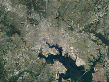
A novel approach developed by scientists at ORNL can scan massive datasets of large-scale satellite images to more accurately map infrastructure – such as buildings and roads – in hours versus days.