

Mircea Podar, Distinguished Staff Scientist and Leader of the Systems Genetics Group in the Biosciences Division at Oak Ridge National Laboratory, has been elected fellow of the American Academy of Microbiology.
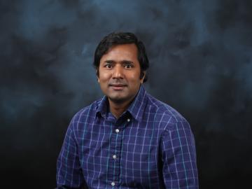
Jitendra Kumar, a researcher at the Department of Energy’s Oak Ridge National Laboratory, has been elevated to the grade of senior member of the Institute of Electrical and Electronics Engineers (IEEE).

Each year, approximately 6 billion gallons of fuel are wasted as vehicles wait at stop lights or sit in dense traffic with engines idling, according to US Department of Energy estimates.
As the second-leading cause of death in the United States, cancer is a public health crisis that afflicts nearly one in two people during their lifetime.
A team of scientists led by Oak Ridge National Laboratory found that while all regions of the country can expect an earlier start to the growing season as temperatures rise, the trend is likely to become more variable year-over-year in hotter regions.

A novel approach developed by scientists at ORNL can scan massive datasets of large-scale satellite images to more accurately map infrastructure – such as buildings and roads – in hours versus days.

A typhoon strikes an island in the Pacific Ocean, downing power lines and cell towers. An earthquake hits a remote mountainous region, destroying structures and leaving no communication infrastructure behind.