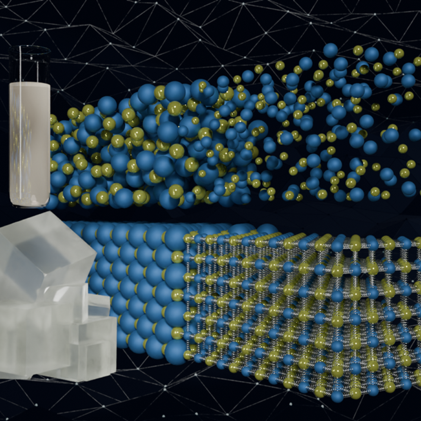
Quantum precision reached in modeling molten salt behavior
When geoinformatics engineering researchers at the Department of Energy’s Oak Ridge National Laboratory wanted to better understand changes in land areas and points of interest around the world, they turned to the locals — their data, at least.
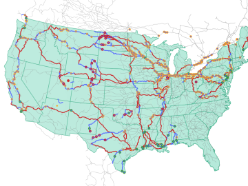
Oak Ridge National Laboratory researchers used images from a photo-sharing website to identify crude oil train routes across the nation to provide data that could help transportation planners better understand regional impacts.
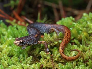
Oak Ridge National Laboratory researchers developed a model framework that identifies ways to ensure wildlife can safely navigate their habitats while not unduly affecting infrastructure.

Growing up exploring the parklands of India where Rudyard Kipling drew inspiration for The Jungle Book left Saubhagya Rathore with a deep respect and curiosity about the natural world. He later turned that interest into a career in environmental science and engineering, and today he is working at ORNL to improve our understanding of watersheds for better climate prediction and resilience.

With the world’s first exascale supercomputer now fully open for scientific business, researchers can thank the early users who helped get the machine up to speed.

Oak Ridge National Laboratory researchers recently demonstrated use of a laser-based analytical method to accelerate understanding of critical plant and soil properties that affect bioenergy plant growth and soil carbon storage.

Researchers at the Department of Energy’s Oak Ridge National Laboratory are supporting the grid by improving its smallest building blocks: power modules that act as digital switches.

Tristen Mullins enjoys the hidden side of computers. As a signals processing engineer for ORNL, she tries to uncover information hidden in components used on the nation’s power grid — information that may be susceptible to cyberattacks.
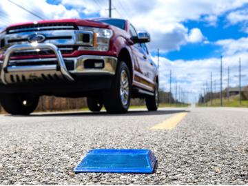
Working with Western Michigan University and other partners, ORNL engineers are placing low-powered sensors in the reflective raised pavement markers that are already used to help drivers identify lanes. Microchips inside the markers transmit information to passing cars about the road shape to help autonomous driving features function even when vehicle cameras or remote laser sensing, called LiDAR, are unreliable because of fog, snow, glare or other obstructions.

Like most scientists, Chengping Chai is not content with the surface of things: He wants to probe beyond to learn what’s really going on. But in his case, he is literally building a map of the world beneath, using seismic and acoustic data that reveal when and where the earth moves.
